MARSH
Tøndermarsken is created by the sea and shaped by people.
Water is central to the history of Tøndermarsken. Nowadays, dykes and sluices protect the marsh from flooding. A system of river dykes, canals and pumping stations channel river and rainwater across the marsh.
There is a rich architecture heritage to explore in this magnificent cultural landscape, which is designated an Important Bird and Biodiversity Area (IBA). Tøndermarsken is part of the Wadden Sea National Park. The western part of the marsh is also a UNESCO World Heritage Site.
PUMPING STATIONS
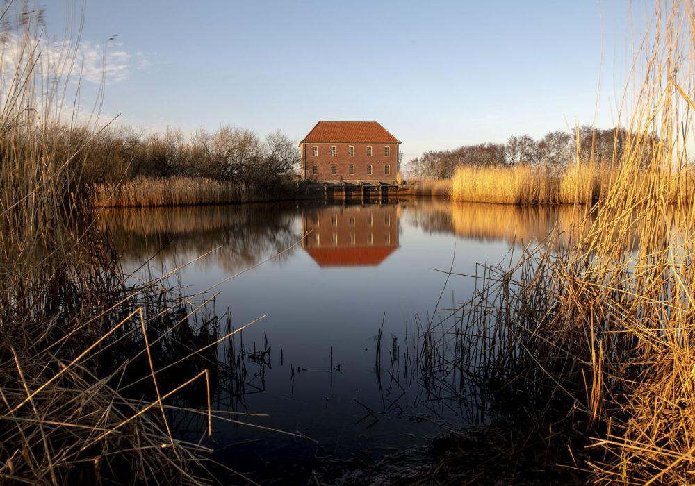
Pumping stations are a cornerstone of the drainage system in Tøndermarsken, as they pump out rainwater from the low-lying marshlands. Due to the clay soil, the water runs from the fields via field drains and ditches out into the canal system. Via the canals, the water is directed to the pumping stations, where rotating scoop wheels raise the water up into diked waterways.
In former times, wind-powered mills were used to drain as well as to let in water, but today the pumps in the four pumping stations are all electric. The four large pumping stations in Tøndermarsken are Lægan, Nørremølle, Højer and Sejersbæk. The water from the Gotteskoog-polder in Germany is pumped into the river Vidå by the German pumping station Verlath.
Lægan Pumping Station
Lægan Pumpestation is the largest of the four pumping stations built in connection with the drainage of Tøndermarsken in 1927-30. The pumping station was constructed in 1929 according to the principles of edre Byggeskik, the danish Arts and Crafts Movement, and was designes by the estate manager at the cstle Schackenborg Slot H.C. Davidsen. The pumping station drains an area of approximately 8,000 hectares.
SLUICES
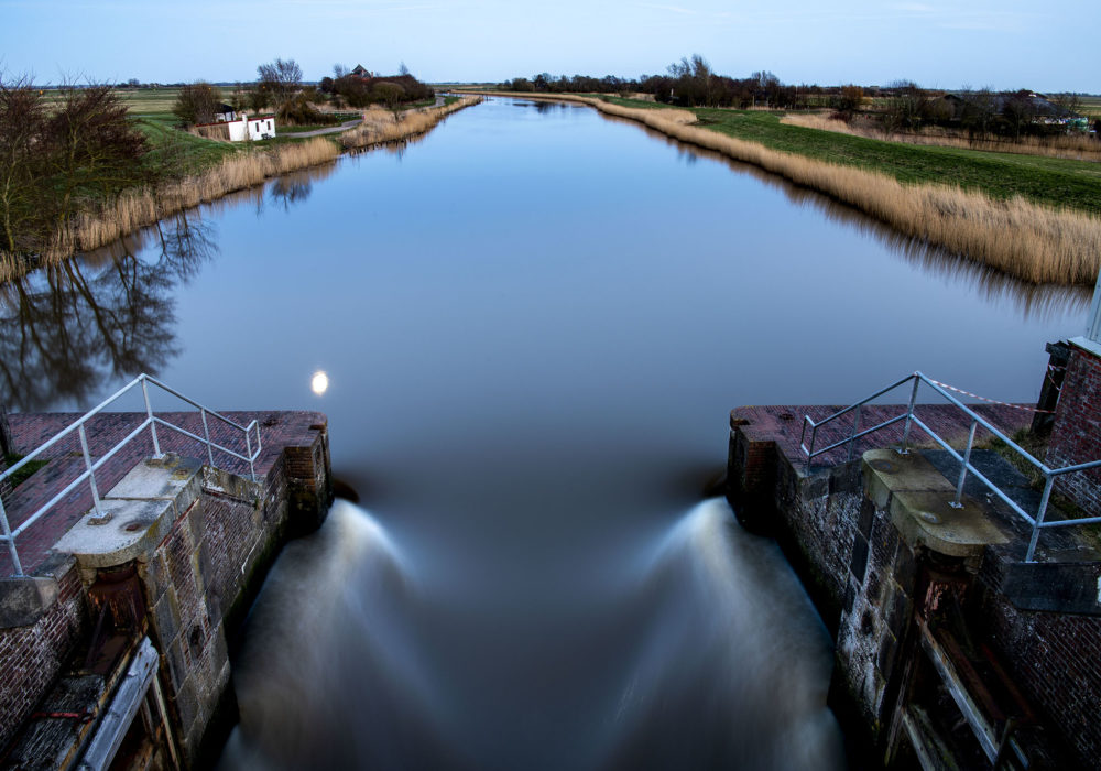
The sluices in Tøndermarsken direct the river Vidå through the dikes in the marsh. Today Vidåslusen in the Forward Coastal Dike is the outermost sluice in Tøndermarsken, cutting off the daily high tide and storm surges. The floodgates are automatically closed when the water level in the Wadden Sea is higher than the water level in the Vidå. When the floodgates are closed, the water level in the Vidå rises until the level in the Wadden Sea drops once again and the water in the stream can push open the floodgates.
In 1981 Vidåslusen replaced the Højer sluice from 1860, which was the first sluice made of stone. In earlier times sluices could be found at Nørremølle, Rudbøl and Lægan, where the dikes crossed the Vidå.
DIKES
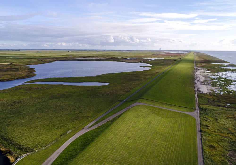
In Tøndermarsken you will find sea dikes as well as river dikes. The tall sea dikes protect the marsh from storm surges and were constructed from 1556 to 1981. The marsh has grown, and as the new land has been provided with dikes, the older dikes have lost their function. Today Tøndermarsken is protected by The Forward Coastal Dike from 1981, leaving the 1861 dike at Højer functioning as extra protection.
The storm surge of 3. January 1976 led to the construction of the Forward Coastal Dike.
The lower river dikes follow the river Vidå and the streams and were built in connection with the drainage of Tøndermarsk en in the years 1927–30. The river dikes are essential to the efficiency of the drainage system. They guarantee the water remaining in the Vidå river and the streams when pumped from the canals in the lower-lying marsh areas.
CANALS
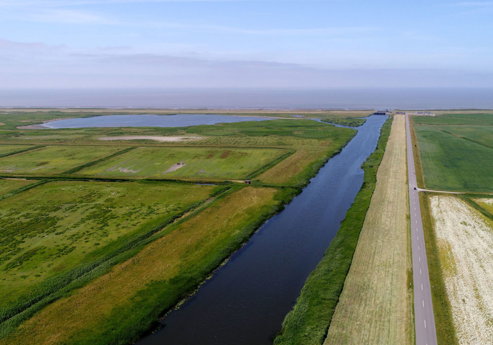
Tøndermarsken is criss-crossed by canals. Ever since the Middle Ages, the people living in the marsh have been digging canals in order to control the water flowing through the marsh.
The current canal system was established during the drainage of Tøndermarsken in the years 1927–30, allowing the canals to guide water to and from the marsh pumping stations. Consequently, the canal system is not only capable of draining but also of letting water into the marsh through the water distribution canals.
At the pumping stations water flows into the canals, which provide drinking water for the animals grazing in the marsh. The water level is regulated via weirs, simple blockades that hold the water back and thereby maintain the desired water level in the canals. The canals also act as fencing, keeping the livestock in the fields.
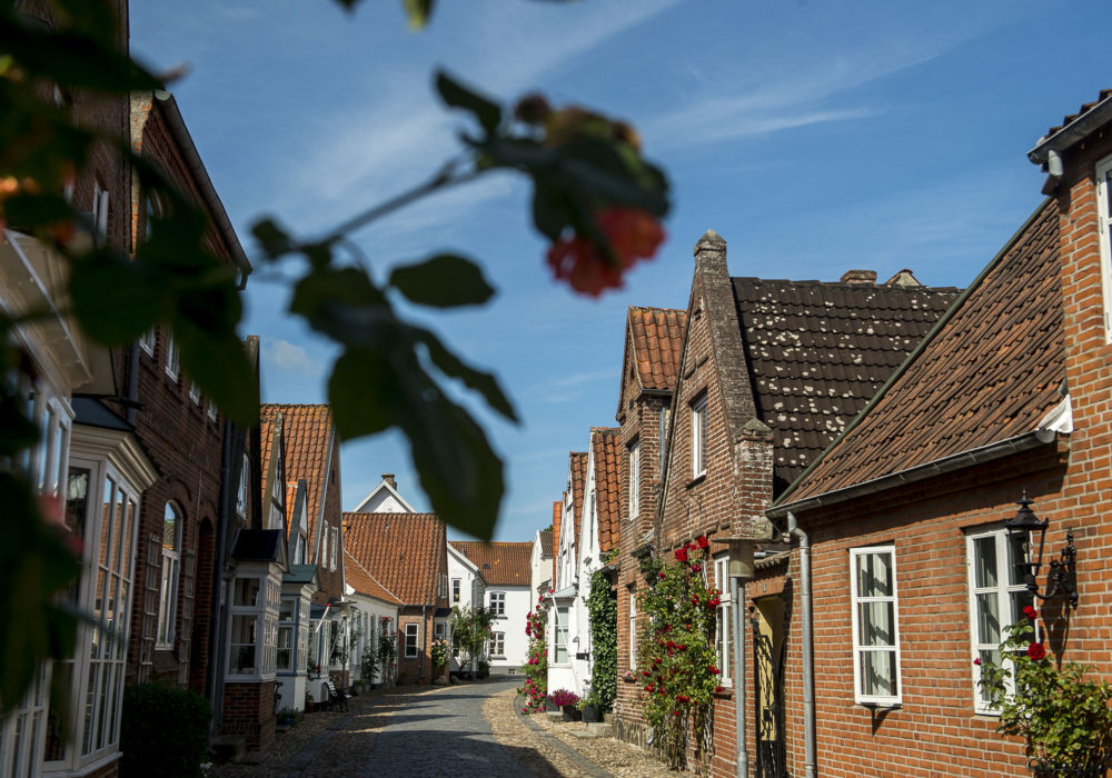
THE TOWNS AND VILLAGES OF THE MARSH
Most of the inhabitants in Tøndermarsken live on the edge of the marsh in the three towns Tønder, Møgeltønder and Højer. Others live on dwelling mounds scattered throughout the marsh but concentrated around the dwelling-mound villages Rudbøl and Ubjerg. This settlement pattern was established in the early Middle Ages, when the towns were formed and the first people took up residence in the marsh. The small community of Nørremølle sprang up on the dike in the 18th century after the diking of Gamle Frederikskog in 1692 and Rudbøl Kog in 1715, but new villages have not emerged since the Middle Ages.
Buildings were not constructed directly on the marsh until the drainage of Tøndermarsken in the 1920s significantly minimised the risk of flooding.